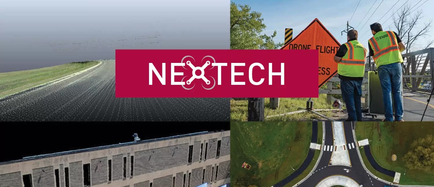
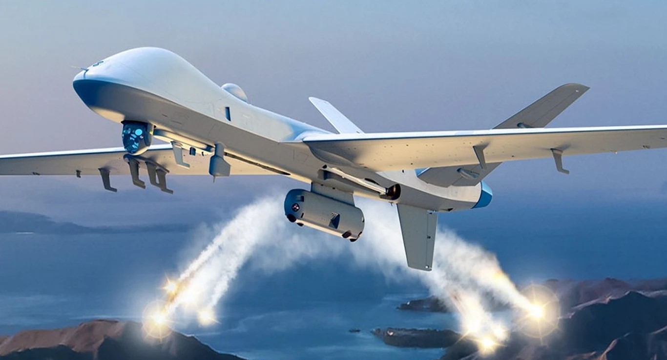
Our UAV (Unmanned Aerial Vehicle) Operations deliver professional drone services tailored for Ghanaian businesses and industries. We provide advanced aerial surveillance, high-resolution mapping, infrastructure inspections, agricultural monitoring, and security patrol solutions using cutting-edge drone technology. Our certified UAV pilots and state-of-the-art equipment ensure precise, safe, and cost-effective operations across all sectors.
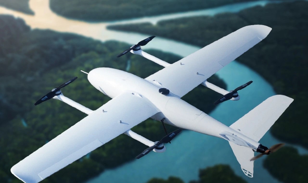
From real estate aerial photography to critical infrastructure inspections and large-scale land surveying, our UAV team delivers actionable data and insights that transform how you manage your assets. We combine drone expertise with data analytics to provide comprehensive reports, 3D models, orthomosaic maps, and thermal imaging analysis for informed decision-making.
Why choose our UAV operations services
UAV Operations are revolutionizing how businesses gather data, monitor assets, and secure their facilities. By deploying advanced drone technology, we help you reduce costs, improve safety, and gain aerial perspectives that were previously impossible or prohibitively expensive to obtain.
Certified UAV pilots & licensed drone operations
High-resolution aerial imaging & 4K video capture
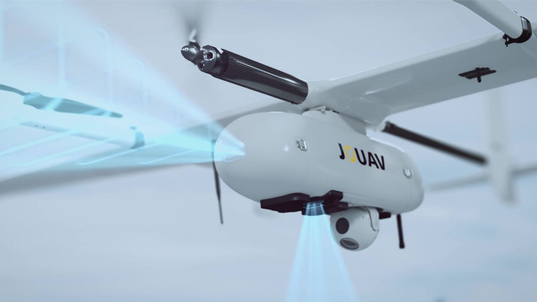
Advanced thermal imaging & multispectral analysis
Precision mapping, surveying & 3D modelling
Real-time data transmission & live monitoring
Fully compliant with Ghana Civil Aviation Authority regulations
Multi-sector expertise: agriculture, construction & security
Rapid deployment & cost-effective aerial solutions
Our UAV operations deliver unmatched aerial perspectives, real-time intelligence, and precision data collection across industries. Whether for security surveillance, infrastructure inspection, agricultural monitoring, or construction progress tracking, our drone solutions are fast, safe, and far more cost-effective than traditional methods.
Features of our UAV operations services
Our professional UAV services encompass aerial surveillance, precision mapping, infrastructure inspection, agricultural monitoring, and security operations. We deploy industry-leading drone technology to deliver accurate, timely, and actionable aerial intelligence for your business.
Aerial surveillance & security
24/7 drone-based security monitoring, perimeter surveillance, and real-time threat detection for facilities, events, and critical infrastructure.
Mapping & land surveying
High-accuracy topographic mapping, orthomosaic imaging, and 3D terrain modelling for construction, real estate, and urban planning projects.
Infrastructure inspection
Safe and efficient inspection of bridges, towers, rooftops, pipelines, power lines, and other hard-to-reach structures using drones equipped with HD and thermal cameras.
Agricultural monitoring
Multispectral crop health analysis, precision agriculture support, irrigation assessment, and yield estimation to maximize farm productivity and reduce operational costs.
Construction progress monitoring
Regular aerial documentation of construction sites to track progress, manage resources, identify delays, and provide stakeholders with accurate visual updates.
Aerial photography & videography
Professional 4K aerial photography and cinematic video production for real estate, events, tourism, and corporate marketing campaigns.
Our professional UAV operations deliver precision aerial intelligence, real-time monitoring, and comprehensive data collection across all industries in Ghana and beyond.
- Aerial surveillance & security monitoring
- Precision mapping & 3D land surveying
- Infrastructure & asset inspections
- Agricultural & environmental monitoring
- Construction progress documentation
- Professional aerial photography & videography
- Thermal imaging & multispectral analysis
- Emergency response & search operations
Frequently asked questions
We provide a comprehensive range of UAV services including aerial surveillance and security monitoring, precision land mapping and surveying, infrastructure inspections, agricultural crop monitoring, construction site documentation, environmental assessments, aerial photography and videography, and emergency response support across Ghana and West Africa.
Yes, all our UAV operations are fully compliant with the Ghana Civil Aviation Authority (GCAA) regulations. Our pilots hold valid Remote Pilot Licenses (RPL), and we obtain all necessary flight permits and airspace authorizations before each operation. We maintain comprehensive insurance coverage and adhere strictly to local and international aviation safety standards.
Our UAV services cater to a wide range of industries including agriculture, construction and real estate, oil and gas, mining, telecommunications, government and defense, environmental agencies, utility companies, logistics, event management, media and entertainment, and security firms. We tailor our drone solutions to meet the specific operational needs of each sector.
Depending on your project requirements, our deliverables include high-resolution aerial photographs, 4K video footage, orthomosaic maps, digital elevation models (DEM), 3D point cloud models, thermal imaging reports, multispectral vegetation index (NDVI) maps, and comprehensive analytical reports with actionable insights tailored to your business objectives.
UAV operation costs vary depending on the type of service, area coverage, flight duration, equipment required, data processing needs, and project complexity. We offer competitive pricing and provide detailed cost estimates after an initial consultation to assess your specific requirements. Contact us for a free quote and discover how our drone services can deliver exceptional value compared to traditional methods.